 |
| Canyonlands National Park |
Day two of our stay in Moab, Utah was spent in Canyonlands National Park. The park is divided up into two major sections - Island in the Sky and The Needles. I didn't realize this when planning our vacation so we didn't have time to see both areas. (We're talking hundreds of square miles here!)
Just like at Arches National Park, Canyonlands has an information center where you can pick up a map of the area. (There is a tourist info center in Moab where you can get much more detailed maps if you're headed into the back country.)
The kid at the admission booth asked if we had a senior pass; I put my hat back on. We were 6 months too early to get the $10 lifetime senior pass but maybe we'll pick one up in Acadia this fall.
Again, bring plenty of water, sunscreen, sunglasses and a hat!
We made good use of the trail map, marking off the different sights we wanted to see. The hikes are broken up into Easy, Moderate, and Who Are You Kidding. (Just joking, that last section is really called 'Strenuous'.)
Mesa Arch was our first stop. This is a relatively easy (compared with the slickrock climb yesterday at Arches) half mile trek. There are cairns showing the way.
 |
| Canyonlands cairn |
 |
| Moi at Mesa Arch |
 |
| View thru Mesa Arch. |
Yup, there is nothing on the other side but a sheer drop.
 |
| Stairs along Mesa Arch trail. |
 |
| This is a brutal climate. |
After Mesa Arch we drove out to Upheaval Dome. Again today we started early. A little later than yesterday but we were at the park by 8 AM. Although you can take this road from Moab, it's not recommended unless you have a high clearance 4x4.
 |
| Shafer Trail |
Yes, that's the road. Not a guard rail in sight. Two lanes. No thanks.
 |
| Trail to the second overlook on Upheaval Dome. |
 |
| At the first overlook on Upheaval Dome. |
The hike to Upheaval Dome is fairly easy to the first overlook. So easy, in fact, a woman from France was hiking in ballet flats and wearing a skirt. She did not continue on the the second overlook. (The whole trail is listed as moderate but mostly because it's fairly uphill the whole way with lots of loose gravel and rocks to get around.) Plan a few hours if you want to hike to the end of the trail.
Although the second trail looks fairly flat and open there were too many 'cliff hangers' for me. I encouraged Rock to go on and I would just sit and watch the lizards and birds, he said he'd stay with me. (He's always got my back.)
The tourist info guide is really good for people like me who have problems with vertigo. The trail listing for Whale Rock sounds reasonable until this line: Be careful, steep drop offs. Um, no can do. We moved on to the Grand View Point Overlook where you can see the Green River coursing through the canyons. The Colorado River is just out of sight.
 |
| Grand View Point Overlook |
 |
| Dirt bikes on the 100 Mile Trail. (First bike is pretty much in the center of the photo, second one is at the lower left. |
 |
| Us, Grand View Point Overlook |
OK, so this wasn't too bad. We're up a few hundred feet but there's a fence so I'm not too worried. After this easy bit we walked the mile long trail that runs alongside the edge of the cliffs. We kept running into the same people we had seen the day before at Arches. They were moving on to The Needles the next day, we were headed to Kanab.
I'll leave you with a few more scenery shots and more 'Rock hanging off edge of the world' photos.
 |
| Kind of like the lone cypress on the PCH in California. |
 |
| As close as I will get to the edge. |
 |
| Rock gets much closer to the edge. |
 |
| Beyond the edge. |
 |
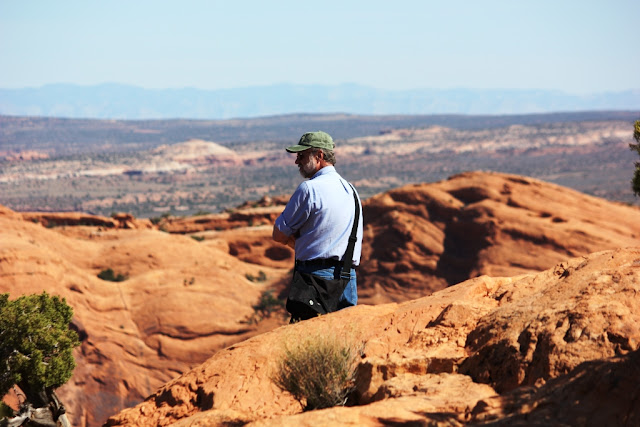
| Contemplating the edge. |
 |
| Just amazing. |
More shots from the ride back to Moab...
 |
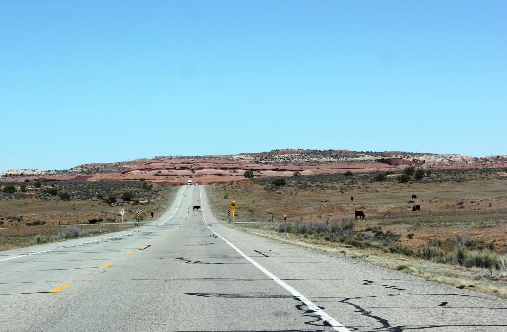
| Open range. |
 |
| Windblown on the Colorado. |
 |
| Great bike trail along the Colorado. |
Next up we head to Kanab, Utah. Our intention was to see Bryce Canyon and Zion National Parks but it was on and off rainy for the next 3 days so we went to Pipe Springs National Monument and the Lost City Museum.
178 Main Street Freeport, Maine 04032


No comments:
Post a Comment